About GISSAL
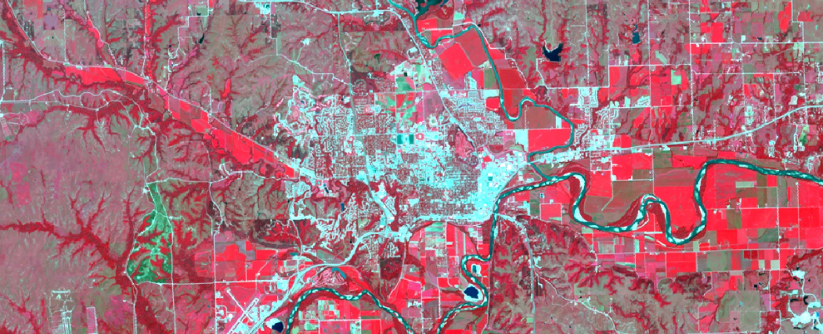
The Geographic Information Systems Spatial Analysis Laboratory (GISSAL) is a university core facility established in 1990 as an interdisciplinary center supporting geospatial research, learning, and outreach activities.
What is GISSAL?
The Geographic Information Systems Spatial Analysis Laboratory (GISSAL) is a core facility established in 1990 as an interdisciplinary center for geospatial research, education, and outreach. Since 2000, GISSAL researchers have served as principal or co-principal investigators on externally funded projects totaling over $18 million, collaborating with more than 40 organizations across the nation and around the world.
GISSAL has earned national recognition, including designation as a National Center of Digitizing Excellence by the USDA Natural Resource Conservation Service, an Esri Special Achievement in GIS Award for Agriculture in 2005, and participation in a multidisciplinary team honored with the Range and Training Land Assessment (RTLA) Program of the Year award in 2011 by the Department of the Army.
While primarily a research and outreach facility, GISSAL also provides a suite of contract services to support on- and off-campus clients. Investing in K-State through GISSAL not only delivers valuable, hands-on training for students but also strengthens our future competitiveness by expanding internal capacity and expertise.