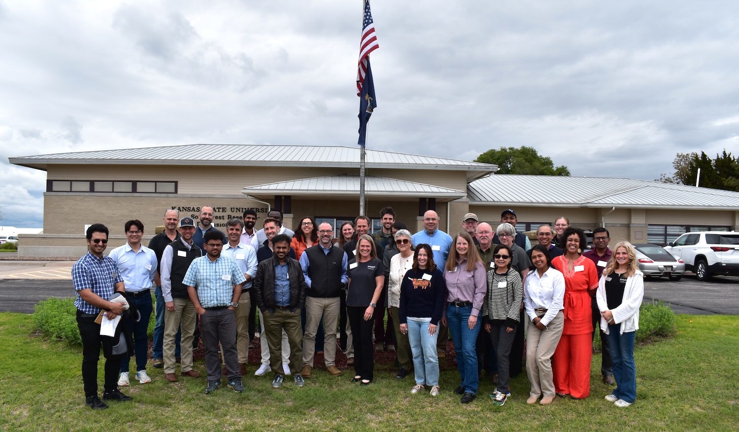
SatRAP project aims
The decline of the Ogallala-High Plains Aquifer is well known and widely documented. The portion of the aquifer that underlies the Southern Great Plains is among the most rapidly depleting aquifers globally and thousands of acres of irrigated cropland have been lost from production. Reports indicate that droughts and heat stress across the region will intensify over the next 50 years, ramping up pressure on an already strained aquifer system. This requires a portfolio approach including policies, incentives, social structures adoption of new technologies, and other support systems.
Education and Outreach Aim
This aim will be working to create support systems for students (high school and university-level) as well as peer-to-peer networks throughout the region. Specifically, this will include designing curriculum focused on experiential learning and workforce development to engage students in preparation for irrigation and water management careers. This will result in enhance regional partnerships and collaborations between universities, extension networks, and other educational organizations.
Socio-Economic Aim
The team working under this project aim will work to understand farmers' perceptions of current water policy and increase awareness for best practicies for transitioning to water-smart production. This will be accomplished through gathering data from focus groups in each state (Kansas, Oklahoma, and Texas). The aim will also complete regional economic models, incorporate field-scale water use policies on water use indicators, and assess effects of local water use policies on water use indicators.
Technology Aim
The goal of this project aim is to use remotely sensed ET and ground sensors to quantify hydrologic impacts and provide producers novel adaptation tools for improved water management. The team will compile a record of farmers' field management practices in order to determine regional water use efficiency scenarios. Other objectives include integrating OpenET data on crop evapotransipration, determining Q-Stable numbers for groundwater conservation district focus areas, and developing a sensor-based technology demonstration hub.