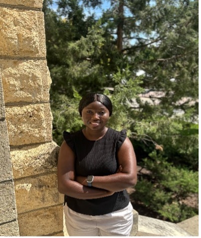
Ernestina Osei
Seaton Hall 1011
tina99@ksu.edu
PhD in Geography
My research focuses on wildfire impacts and land use and land cover changes through the application of Geographic Information Systems (GIS) and remote sensing techniques. My current work examines historical wildfire patterns in Brazil’s Pantanal region, with particular emphasis on quantifying burned areas within Legal Reserves, assessing fire severity, and analyzing post fire land cover changes. By integrating satellite imagery, spatial analysis, and land use and land cover datasets, I aim to better understand how wildfires affect Legal Reserves, examine the resulting changes in land cover, assess the implications of these changes for conservation, and determine whether affected areas are being restored or compensated for.
GEOG 122 (Section B & H)
Ernestina Osei is originally from Kwahu, a well-known town in Ghana. She earned her Bachelor of Arts in Geography and Rural Development from Kwame Nkrumah University of Science and Technology (KNUST). Following her undergraduate studies, she moved to the United States to pursue a master's degree in Geosciences at Fort Hays State University.
During her master's program, she gained practical experience through internships with Ellis County and the City of Hays, where she contributed to several GIS related projects, including fire hydrant mapping and infrastructure data management.
She is currently pursuing a Ph.D. in Geography at Kansas State University, specializing in Wildfires. Her research focuses on wildfire impacts and land use and land cover changes, particularly within Legal Reserves in Brazil’s Pantanal region. She uses Geographic Information Systems (GIS) and remote sensing techniques analyze historical wildfire patterns, assess fire severity, and examine post fire land cover changes.