Geospatial Services
Hire geospatial experts to assist with your research and outreach efforts. Your investment in K-State provides real-world student training opportunities and increases our competitiveness by expanding internal capacity.

Geospatial Contract Services
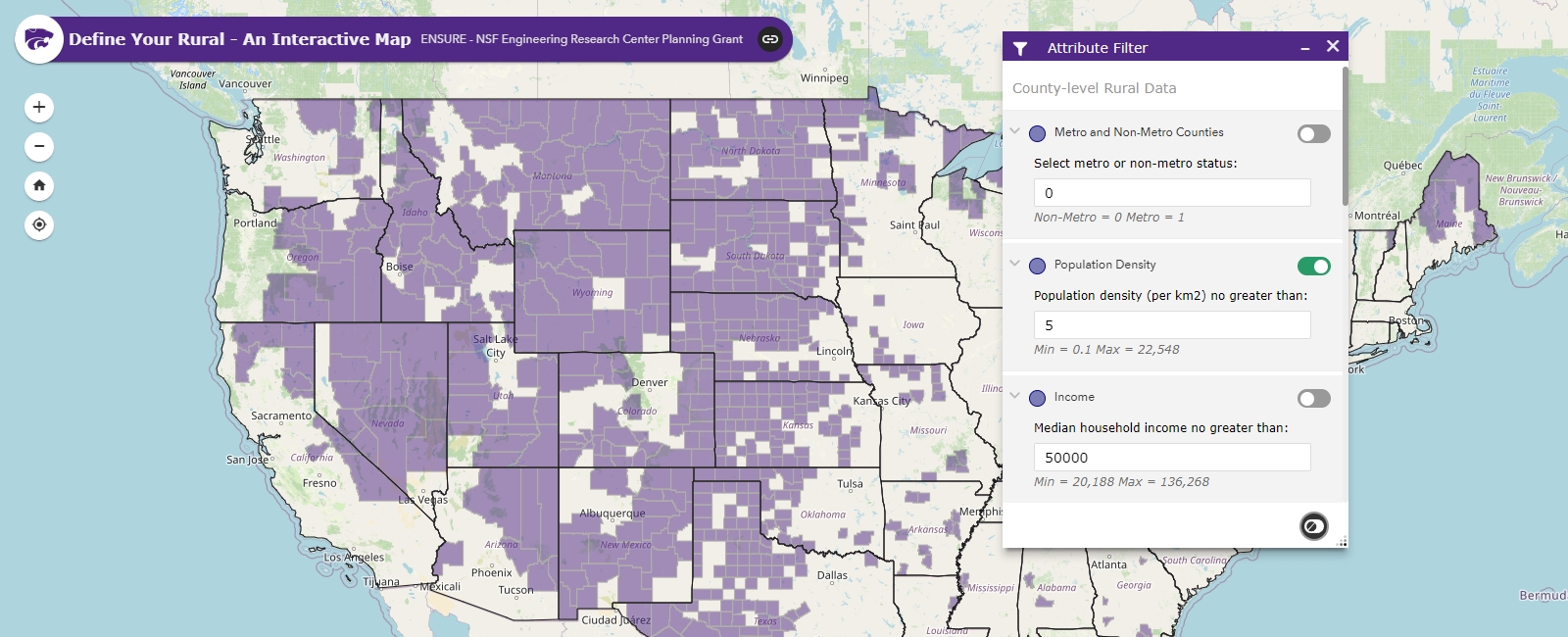
Have a project requiring spatial analyses informed by GIS methods? Need a properly designed and appealing visualization for your upcoming research publication or textbook? You want geospatial data, but don't know where to look? Looking to add an interactive Web mapping application to your extension program? Thinking about creative ways to share your program's spatial data holdings with stakeholders?
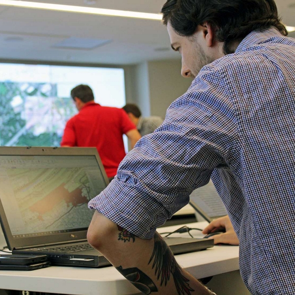
Reduce your project completion time by engaging expert help! GISSAL research staff and students can be hired on a long- or short-term basis to support your geospatial research, provide expert cartographic support, or to develop and host custom Web-based GIS applications and geospatial data portals..and more! We can also facilitate team building to create innovative solutions and help deliver your projects on time and on budget.
Differences in the cost schedule below depend on whether you are a K-State employee/student (see Internal Cost) or are an off-campus entity (see External Cost). GISSAL staff can also serve as co-PI's on research grants or as a subcontractor on your project.
| Services (Minimum 1 Hour Charge per Service) | Internal Cost | External Cost | Unit |
| GIS/Cartographic Support | $23.40 | $35.57 | Hr |
| Large-format Scanning and Printing | $27.34 | $41.56 | Hr |
| Senior Personnel Consulting | $94.06 | $142.97 | Hr |
| GIS Web Services and Online Map Development | $55.40 | $84.21 | Hr |
| Enterprise GIS Services | $95.28 | $144.83 | Hr |
|
Charges last updated and approved on October 24, 2024. |
|||